CHARLOTTE, N.C. (PINPOINT WEATHER) — The Pinpoint Weather Team is tracking a potential storm system for late Friday into early Saturday, which appears to bring a chance for some sort of wintry weather across the Piedmont.

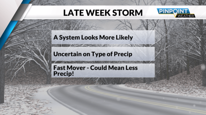
As with most winter weather forecasts in the Carolinas, there is still a lot of uncertainty regarding this system. It does appear more likely that we will see some sort of system, however, it is uncertain what kind of precipitation we will be seeing with that given system.
This will be a fast-moving system as well, which means that whatever precipitation we receive, it will likely be on the lower end. Drier air ahead of this system later this week could also lead to lesser amounts of precipitation.

Will it be rain, freezing rain, sleet, or snow? That will all depend on the track of the center of low pressure later this week. If the low tracks further south, that leads to better odds for snowfall, as the atmosphere will be much colder.
The further north the low tracks, the warmer air can intrude into the colder air. This could lead to sleet, freezing rain, or even the potential for just plain rain across the region.
As of Monday afternoon, winter weather is possible late Friday into Saturday for the Carolinas, including across the metro. However, there is still uncertainty on what type of winter weather our area could see.

Winter weather forecasting has a few steps.
When you are a week out from potential winter weather it is all about making sure the pattern is favorable. A favorable pattern in the Carolinas is when the cold air has been established for a while ahead of a system.
As we get closer to potential winter weather, we start noticing if the future system is trending more likely or less likely. The closer you get to a storm, the more details start to become more clear. Like the types of precipitation, we could see and how much of it.


