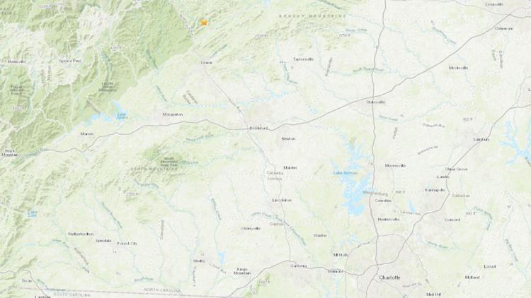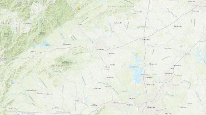
The USGS reported the earthquake could be felt at least 16 miles away from the epicenter.
CALDWELL COUNTY, N.C. — A low-magnitude earthquake hit the North Carolina mountains Sunday morning, according to the U.S. Geological Survey.
The 2.2-magnitude earthquake’s intensity was listed as a II, which is categorized as “weak.” The quake hit around 8:30 a.m. and originated in Cedar Rock, North Carolina, off Buffalo Cove Road in east-central Caldwell County.
The USGS reported the earthquake could be felt at least 16 miles away from the epicenter.
According to the North Carolina Department of Environmental Quality, earthquakes in North Carolina are relatively infrequent. The largest earthquake in the region happened in Charleston, South Carolina, back in 1886 with a magnitude of 6.7. This earthquake is considered one of the most damaging earthquakes in the history of the Southeast. The largest in North Carolina happened in Sparta on Aug. 9, 2020, with a magnitude of 5.1.
The largest and closest to the Charlotte metro area was in June 1998 when a 3.2-magnitude earthquake hit Mooresville.
WCNC Charlotte’s Weather IQ YouTube channel gives detailed explainers from the WCNC Weather Impact Team meteorologists to help you learn and understand weather, climate and science. Watch previous stories where you can raise your Weather IQ in the YouTube playlist below and subscribe to get updated when new videos are uploaded.


